
A GPS logger whose files you can actually open.
Torq is a GPS logging app that records every drive as a GPS trace and lets you take it out in the format the next tool wants: a standard GPX track any GPX recorder reads, a spreadsheet summary, or the raw sensor file with every point. Nothing is locked inside the app.
Three formats, three jobs
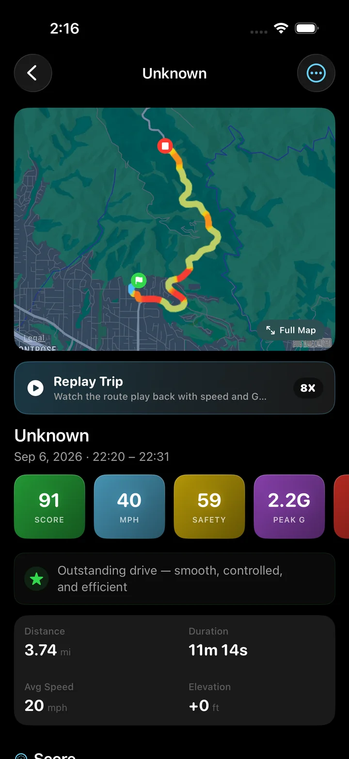
Export from a trip's detail screen through the iOS share sheet: Files, AirDrop, Mail, or any app that accepts the type.
GPX 1.1 track
One trackpoint per accepted GPS fix with latitude, longitude, elevation and an ISO 8601 timestamp, written as a GPX 1.1 track with Torq as the creator. Opens in Google Earth, QGIS, GPX viewers, Garmin tools and most mapping and fitness apps.
CSV summary
One row per trip, twelve columns: date, start and end time, start and end city, duration, distance, average and top speed, elevation gain, overall score and energy score. Kilometers and km/h always, so a spreadsheet never mixes units. Opens in Numbers, Excel and Google Sheets.
DPSE raw sensor file
Torq's own format: every GPS point with timestamp, position, speed, altitude, course and horizontal accuracy, compactly encoded. The exact input to the analysis. Reads back into Torq on any phone, so a drive can be moved or re-analyzed later.
What a GPX track from Torq looks like
Only points that passed the accuracy filter are written, so the track is the cleaned route rather than every sample the phone produced. Tools that derive speed from the points will get a speed close to the app's, with the difference that the app also applied a robust outlier filter to the speed series before computing top speed.
Why there is a raw format at all
GPX is a route. It says where you were and when. It does not say how sure the receiver was, and it does not carry the reported speed and course, which on a phone come from the Doppler measurement and are better than anything you can recover from the positions. The DPSE file keeps those fields, and the horizontal accuracy with them, which is what a re-analysis needs and what a curious owner wants when a corner looks wrong.
The same file imports back into Torq from the Data section of settings. That is how a trip moves to a new phone, since Torq has no account and no cloud sync, and how an old drive gets the benefit of a newer analysis after an update.
Look at the exported track's speed and elevation profiles in your browser. Open the GPX speed viewer
If you need one spreadsheet row per track point, convert the GPX separately from the app's trip-summary CSV. Convert GPX points to CSV
The mileage log and the score log in one file.
Filter by month in a spreadsheet, sum the distance column, or chart the overall score over time. Because the columns are fixed and the units are always kilometers and km/h, a file exported next year appends cleanly to one exported today.
An exported drive contains your route, your timing and your speeds. Read it before you send it. Torq never uploads a trip on its own; the share sheet is the only path off the phone, and you choose the destination every time.
Questions
How do I export a GPX file from Torq?
Open a trip, tap Export, choose GPX Track, and the share sheet appears. Save it to Files, AirDrop it to a Mac, or send it to any app that accepts GPX. The file is a standard GPX 1.1 track with one trackpoint per GPS fix, including elevation and timestamp.
What is in the CSV export?
One row per trip with date, start time, end time, start city, end city, duration in seconds, distance in kilometers, average and top speed in km/h, elevation gain in meters, overall score and energy score. Metric units regardless of the app setting.
What is a DPSE file?
Torq's raw sensor export: every accepted GPS point with its timestamp, coordinates, speed, altitude, course and horizontal accuracy, in a compact binary format. It is the data the analysis ran on, and Torq can import it back, which is how a drive moves to another phone.
Can I export all my trips at once?
The CSV summary covers every trip in one file from the Data section of settings. GPX and DPSE are per trip, exported from the trip's detail screen, because each is the full trace of one drive.
Does the GPX include speed and G-force?
The GPX track carries position, elevation and time for each point, which is what the format defines; speed can be derived from consecutive points by any tool that reads it. G-force, corner ratings and scores are Torq's analysis rather than raw data and are not in the GPX; the raw inputs are in the DPSE file.
What can read an exported file?
GPX opens in Google Earth, GPX Viewer, QGIS, Garmin BaseCamp, Strava upload and most mapping tools. CSV opens in any spreadsheet. DPSE is Torq's own format and reads back into Torq.
It is your data. Take it with you.
Three formats, no lock-in. Export a drive as a GPX track, a spreadsheet row, or the raw sensor file the analysis ran on.